Home > LAQM Index > PM10 Active Maps
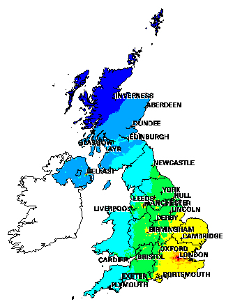
The map below shows projected total PM10 concentrations (gravimetric or equivalent) across the UK.
Concentrations
have been calculated on a 1 x 1km scale, by adding up the contributions from secondary particles, coarse particles and local sources of primary particles. Appropriate emission reduction factors have been applied to take the
impacts of current national and international policies on particle
concentrations into account.
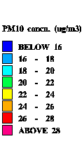
Values of concentrations (in microgrammes per cubic metre, gravimetric or equivalent) in an area can be obtained, or you can just use the map to look
at any area more closely.
Click on an area to see it at a larger scale